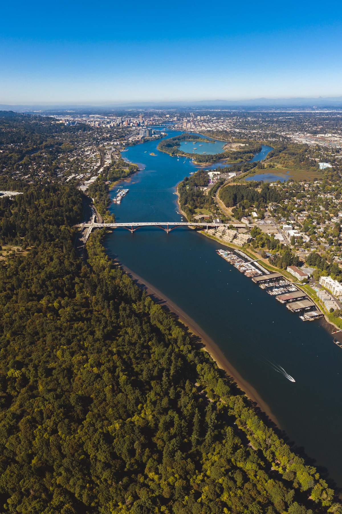
Portland is a city renowned for its easily accessible hiking trails. That being said, it can be difficult for students without cars to access many of these outdoor opportunities without resorting to long public transit rides. This can often transform short casual hikes into day trips. Additionally, while Tryon State Natural Area is a fantastic forest getaway, it can also grow dull or repetitive with time. With this in mind, here is a list of recommendations for casual hikes and explorations surrounding Lewis & Clark.
1. Sellwood Bridge Loop
Coming in at around five miles with 500 vertical feet, this route is ideal for its varied scenery and relative protection from cars. To get here from campus, walk to the southern entrance of River View Cemetery on SW Palatine Hill Rd. Then, keep right on the cemetery roads and go down through the cemetery. Eventually, you will hit a winding road to the Sellwood Bridge.
From this point, a more adventurous hiker can embark across the Willamette River to Sellwood, or, if they desire to head back home, take the pedestrian path to the south down to Powers Marine Park. From Powers Marine, an out-of-use railway turned footpath can be accessed. If taken south, it will lead one through various neighborhoods and by several access points to the Willamette River shore. Following this track until reaching a pedestrian intersection on the left will bring a hiker to S Riverdale Rd., which if followed up to its conclusion on a private driveway, will lead to Southwest Trail 5 up the ravine and back to campus.
2. Summerville Scenic
This route makes use of several of the previous hike’s same paths. This reroute is ideal because of its pleasant residential neighborhoods and idyllic vistas of East Portland, Mt. St. Helens and Mt. Rainier, the latter two being visible on clear days. Coming in at roughly 2.5 miles and 500 vertical feet through cherry-blossom filled neighborhoods, this route requires caution with regard to cars, as well as respect for the residential neighborhoods being passed through.
The Summerville Scenic can be accessed by taking the same path mentioned previously from the ravine to S Riverdale Road. From here the route proceeds down the road, before taking a right turn on Summerville Road. Taking Summerville Road to its conclusion at a private driveway will lead hikers to a steep path up through a short stretch of woods. At the end of this path, Summerville Road resumes and intersects with S Comus Street, which if followed to its end leads to a stunning vista with downtown Portland and Mt. St. Helens in view. Returning to Summerville Road and following it to S Palatine Hill Road, a hiker can either take S Palatine all the way back to campus, or detour north up S Collins Avenue, which has similar clear-day vistas of Mt. Rainier and East Portland.
3. Collins View
Besides these other more defined routes, several neighborhoods at large are all also good destinations for suburban hiking. Collins View, directly northwest of campus, has a number of beautiful houses, large trees and historic cemeteries. One example is the Greenwood Hills Cemetery, which includes graves belonging to Civil War veterans and early Portlanders buried in the late 19th and early 20th centuries.
4. Riverview Natural Area (RVNA)
RVNA can be accessed directly from campus through entrances in the Fir Acres parking lot, by the outdoor tennis court or from the northern edge of the Rose Garden. RVNA boasts many miles of mixed elevation forest hiking trails. While underappreciated, and relatively unknown compared to Tryon, this natural area provides a welcome alternative for brief nature hikes in between classes, after meals or whenever desire calls.
Subscribe to the Mossy Log Newsletter
Stay up to date with the goings-on at Lewis & Clark! Get the top stories or your favorite section delivered to your inbox whenever we release a new issue.

Leave a Reply